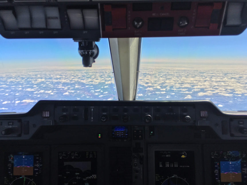
In general terms, airspace is a three-dimensional portion of the atmosphere, not including outer space and its vicinity. When you hear the aviation professionals who manage and fly your private jet discuss airspace, they’re referring to the portion of the atmosphere that the respective country controls, including its territorial waters. In the United States, private charter flights operate within the Federal Aviation Administration’s National Airspace System (NAS). Companies that operate private aircraft use the NAS differently than commercial airliners do because they generally fly at different altitudes and operate out of a greater number of airports.
Airspace Classifications
The FAA’s Instrument Flying Handbook lists six airspace classifications for the U.S.:
- Class A: Airspace that begins at 18,000 feet MSL (mean sea level) up to flight level (FL) 600. This includes airspace over waters that are within 12 nautical miles (NM) of a coast.
- Class B: Airspace from the ground, or surface, to 10,000 feet MSL surrounding busy airports. Air traffic control clearance is required for aircraft to operate in this area. In general, ultralight aircraft cannot operate in this area without prior permission.
- Class C: Airspace from the surface to 4,000 feet AGL (above ground level) above an airport’s elevation. This classification only exists around airports with control towers serviced by radar approach controls. Before entering the airspace, pilots must establish radio communications with an air traffic control facility. As with Class B airspace, ultralights may not enter Class C airspace without prior permission. In general, Class C airspace surrounds bigger cities.
- Class D: Airspace from the surface to 2,500 feet AGL above an airport. This airspace surrounds airports with control towers, and is tailored to meet a respective airport’s needs. Before entering the airspace, a pilot must establish two-way radio communication with air traffic control. In general, Class D airspace surrounds smaller cities.
- Class E: If airspace cannot be classified as A, B, C or D, and is in controlled airspace, it is Class E. There is no requirement to contact air traffic control to obtain clearance to enter it under visual flight rules. Some pilots refer to this class as “weather-controlled” airspace. The airspace exists from 14,500 feet to 18,000 feet MSL across the country. However, the space may extend down to 1,200 feet MSL across widespread areas of the country, as radar coverage permits. Depending on the situation, Class E airspace may extend down to 700 feet AGL or the surface.
- Class G: Uncontrolled airspace that doesn’t fit into the above classifications. In this area, air traffic controllers have no authority, but may act in an advisory capacity. Many ultralight aircraft operate in Class E and G airspace.
- Special use airspace: Some types of airspace restrict or prohibit aircraft because of unseen hazards, military operations, national security considerations, student training, and heavy or unusual air operations.
Airspace classifications are not always static. Situations like the arrival of a government official, natural disasters, air shows and runway repairs may change an airspace’s classification temporarily.
Air Traffic Control Managing Airspace
Prior to taking off, a pilot files a flight plan with an air traffic controller and receives weather information. The plane does not taxi until a ground controller, who keeps track of planes at the airport, gives the green light. Depending on the airport, a local controller, may direct the pilot once the plane is on the runway. The local controller guides the planes during takeoff and over a set course just beyond the boundaries of the airport. At this time, a terminal radar approach controller (TRACON) takes over.
TRACON controllers might be at the airport or at another location that manages departures and approaches for various airports. These controllers use radar to track aircraft and keep planes separated within several miles of an airport’s airspace at altitudes of up to 17,000 feet. Beyond this altitude, en route traffic controllers manage flights from one of the 21 Air Route Traffic Control Centers (ARTCC) across the country. Each ARTCC manages a defined region of airspace. Since there aren’t boundaries painted across the sky to guide planes, en route controllers keep aircraft flying in lines that follow fixed ground locations.
At all stages of a flight, a pilot remains in communication with the various controllers. As the controllers guide planes, management teams at an Air Traffic Control System Command Center help them see the bigger picture. Command Center controllers do not communicate with pilots. They coordinate on a national level with fellow controllers, private aircraft operators, airlines and airspace users to ensure safety and efficiency.
As a plane descends toward an airport, TRACON controllers guide it so it aligns with other aircraft approaching from different directions. When the plane is ready to land, the local tower controller takes over. On the tarmac, a ground controller guides planes from the taxiway to the FBO.

